-
Tips for becoming a good boxer - November 6, 2020
-
7 expert tips for making your hens night a memorable one - November 6, 2020
-
5 reasons to host your Christmas party on a cruise boat - November 6, 2020
-
What to do when you’re charged with a crime - November 6, 2020
-
Should you get one or multiple dogs? Here’s all you need to know - November 3, 2020
-
A Guide: How to Build Your Very Own Magic Mirror - February 14, 2019
-
Our Top Inspirational Baseball Stars - November 24, 2018
-
Five Tech Tools That Will Help You Turn Your Blog into a Business - November 24, 2018
-
How to Indulge on Vacation without Expanding Your Waist - November 9, 2018
-
5 Strategies for Businesses to Appeal to Today’s Increasingly Mobile-Crazed Customers - November 9, 2018
‘Climb’ Western Europe’s Highest Peak on Street View
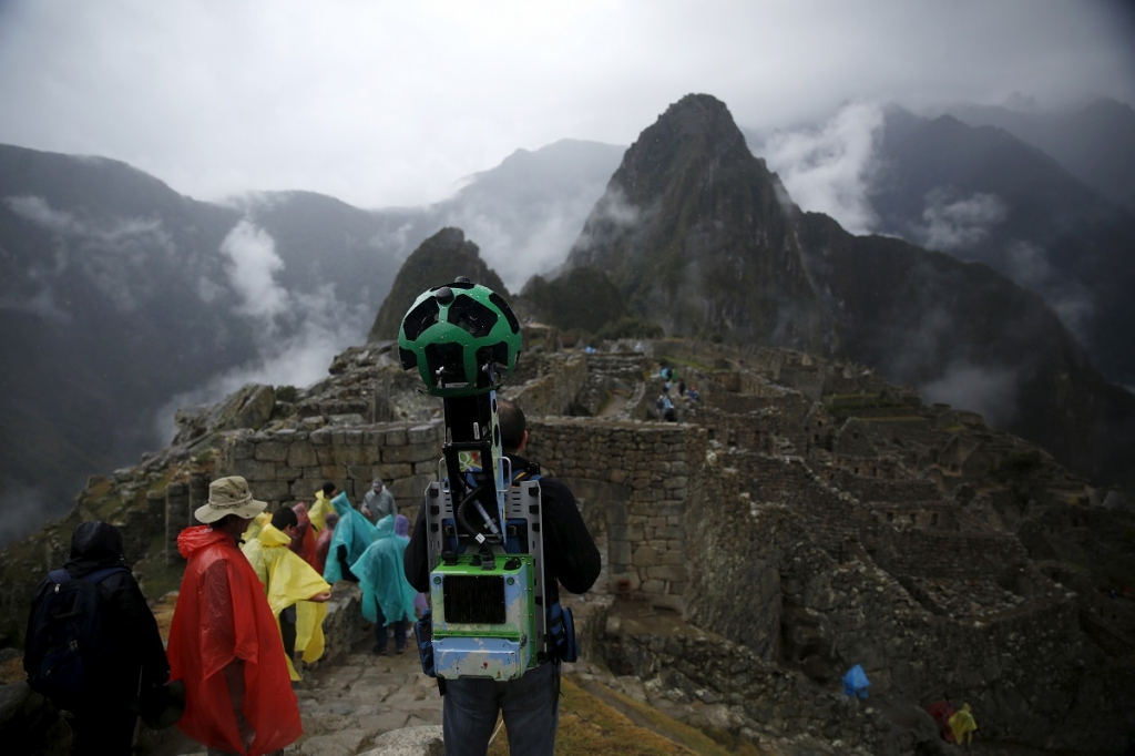
As Google explains on their blog, the Street View team partnered with world-renowned photographers as well as athletes. This time around, the folks over at Google have managed to cobble together images of one of Europe’s most storied peaks – Mont Blanc, via their Street View program.
Advertisement
Now Google has pretty much conquered the world’s roads with its Streetview vehicle, the company has been working hard to document and allow the average joe to explore other corners of the earth, whether it’s inside museums, out in the frozen plains of Manitoba, Canada, or its latest adventure, an expedition of Mont Blanc massif.
During the expedition, a local guide serving in the function for decades has said that climbers have had to change their paths multiple times due to the ice collapsing and the glaciers shrinking. Guides include climbers Catherine Destivelle and Ueli Steck, skier Candide Thovex, distance-runner Killian Jornet and mountaineers Patrick Gabarrou and Laëtitia Roux.
The team behind the project captured not just the snowy and icy parts of the mountain, which can be explored in Street View, but also the general life and ecosphere that accompanies the destination.
The search engine giant is hoping that the latest Street View images can serve as an important digital record for the 15,777 feet high Mont Blanc, which is now one of those greatly affected by global warming.
Advertisement
Google Maps set the bar high for the Street View on Western Europe’s highest peak following last year’s first-ever vertical imagery collection of El Capitan in California’s Yosemite National Park.


