-
Tips for becoming a good boxer - November 6, 2020
-
7 expert tips for making your hens night a memorable one - November 6, 2020
-
5 reasons to host your Christmas party on a cruise boat - November 6, 2020
-
What to do when you’re charged with a crime - November 6, 2020
-
Should you get one or multiple dogs? Here’s all you need to know - November 3, 2020
-
A Guide: How to Build Your Very Own Magic Mirror - February 14, 2019
-
Our Top Inspirational Baseball Stars - November 24, 2018
-
Five Tech Tools That Will Help You Turn Your Blog into a Business - November 24, 2018
-
How to Indulge on Vacation without Expanding Your Waist - November 9, 2018
-
5 Strategies for Businesses to Appeal to Today’s Increasingly Mobile-Crazed Customers - November 9, 2018
International Space Station Flies Over 3 Hurricanes
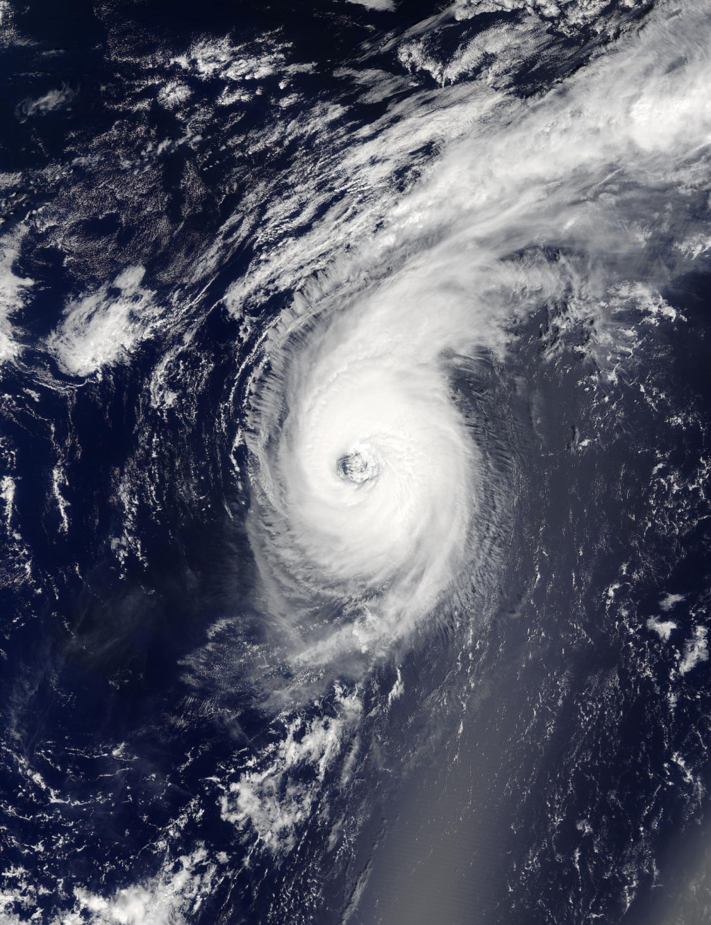
On Wednesday morning the US National Hurricane Centre said that Hurricane Gaston had increased to 120mph, but it was stationary and expected to weaken. Note the clockwise circulation of Southern Hemisphere cyclones, the well-defined banding features, and the eyewall of at least a Category 1 system.
Advertisement
NASA released video captured from the cameras onboard the International Space Station showing 3 hurricanes churning in the Pacific and Atlantic Oceans.
Timelapse footage from the station shows Hurricanes Lester and Madeleine in the Pacific Ocean and Hurricane Gaston in the Atlantic.
Hurricanes are potentially devastating, yet seeing them from space displays their striking glory.
Hurricane season is in full swing, with two major Pacific storms, Madeline and Lester, headed for potential landfall on Hawaii, while Hurricane Gaston charges through the Atlantic off the east coast of the United States. Now a strong category 4 storm, it has wind speeds of 130mph. Lester has started weakening but is still predicted to be a minimal hurricane with winds of about 75 miles per hour (65 knots) when it starts passing to the northeast of Hawaii on September 3, 2016.
Advertisement
On Aug. 31 at 6:50 p.m. EDT (22:50 UTC) the Visible Infrared Imaging Radiometer Suite (VIIRS) instrument aboard NASA-NOAA’s Suomi NPP satellite provided a visible image of Hurricane Lester. It has a maximum sustained wind of 74 miles per hour. The greater the category, the more it is unsafe and could damage.


