-
Tips for becoming a good boxer - November 6, 2020
-
7 expert tips for making your hens night a memorable one - November 6, 2020
-
5 reasons to host your Christmas party on a cruise boat - November 6, 2020
-
What to do when you’re charged with a crime - November 6, 2020
-
Should you get one or multiple dogs? Here’s all you need to know - November 3, 2020
-
A Guide: How to Build Your Very Own Magic Mirror - February 14, 2019
-
Our Top Inspirational Baseball Stars - November 24, 2018
-
Five Tech Tools That Will Help You Turn Your Blog into a Business - November 24, 2018
-
How to Indulge on Vacation without Expanding Your Waist - November 9, 2018
-
5 Strategies for Businesses to Appeal to Today’s Increasingly Mobile-Crazed Customers - November 9, 2018
Weather warning issued for South East
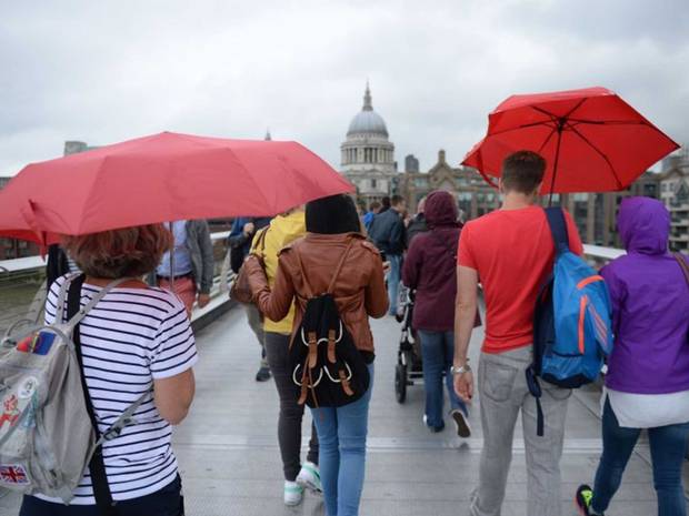
However, while parts of England have been issued with a yellow warnings of rain and wind Wales will miss out on the worst of the weather.
Advertisement
Chris Burton, for the Weather Network, told the Express: “An area of low pressure will track through the English Channel on Friday bringing an area of heavy rain to southern counties”.
Andy Ratcliffe of MeteoGroup UK said the rain and wind is set to continue and people should not expect decent weather until “later next week”.
Friday is expected to remain dry in the morning but as the day progresses, clouds will thicken with heavy and persistent rain expected to hit Kent in the afternoon.
“Across much of southern Britain we could see well over 20-30mm and across the likes of East Anglia, south-east England, even London, there could be perhaps 50-60mm, maybe even more”.
The warning, issued by the Met Office, is in place from 12pm tomorrow until 9am on Saturday (July 25).
The weather could cause hard driving conditions and disrupt outdoor activities.
It will feel cool with winds increasing and gales likely around some coasts by evening.
Advertisement
Maximum temperature on Saturday are expected to reach as high as 18C.


